
Mount Washington State Park -
Fees/Permits
There is a fee to use the Mount Washington Auto Road.
Get around
There are several trails that go around the top of the mountain and surrounding areas.
Activities
Skiing It is possible to ski down Tuckerman's Ravine beginning in the fall months and running as late as May. You will have to carry your own skis up unless you take the Cog Railway, and be wary of your surroundings and on the lookout for avalanches or rockslides as you do so.
Links
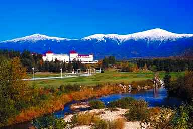
Mount Washington has an elevation of 6,288 feet (1916m) and is home of the Mount Washington Observatory which is manned year round. The mountain is home to some of the most extreme weather anywhere, and the record for highest measured land-based wind speed was recorded here in 1934 (231 mph). The weather at the top of the mountain is similar to that in Siberia, and winter temperatures can be as low as -47 degrees Fahrenheit.
The mountain was first climbed in 1642, but the mountain really took off as a tourist destination in the 19th century when bridle paths were first cut on the mountain (which ended up becoming the Mount Washington Auto Road).
Get in
By Car the Mount Washington Auto Road is open during the summer months to vehicles, and it takes a little over a half hour to reach the summit. Exercise caution while traveling down the road as breaks can easily overheat.
By Train The Mount Washington Cog Railway, 1-800-922-8825, is the world's first mountain climbing cog railway and is still under operation today. The round trip takes three hours with a twenty minute stop at the summit. The train runs from late April to late November (check the website for details), and has special "ski train" runs during the winter.
By Foot There are several trails up the mountain, including the Appalachian Trail which cuts across the mountain. The most popular route is a path known as Tuckerman's Ravine.
By Shuttle If you don't want to hike back down the mountain, there is a shuttle service available. However room is not always guaranteed, so do not assume there will be room on the shuttle and be prepared to hike down if needed! However, most tourists who drive up on their own will be willing to take down a visibly exhausted hiker.
Stay safe
This mountain is home to some of the worst weather in the world. Always be prepared and take necessary precautions while hiking or skiing, and be sure to let someone know where you are. The paths are clearly marked for good reasons: do not stray off of them as several people have perished due to unexpected falls. Also exercise extreme caution during the winter months, particularly while skiing, as there are several avalanches a year.
Adapted from WikiTravel under the Wiki License
Home | Add/Modify Listing | Photo Gallery | Maps | Contact | About Us | Canada Privacy Statement
This site is operated by 2024 Cedar Lake Software
LastModified: Apr-12-10